Dope. The whole thing seems very chill, meditative even. Also, if you’re doing long sessions those headsets get pretty uncomfortable. I’m seeing now why they aren’t that popular.
Thanks for sharing! Love learning about niche stuff like this and the different forms gearheads take.
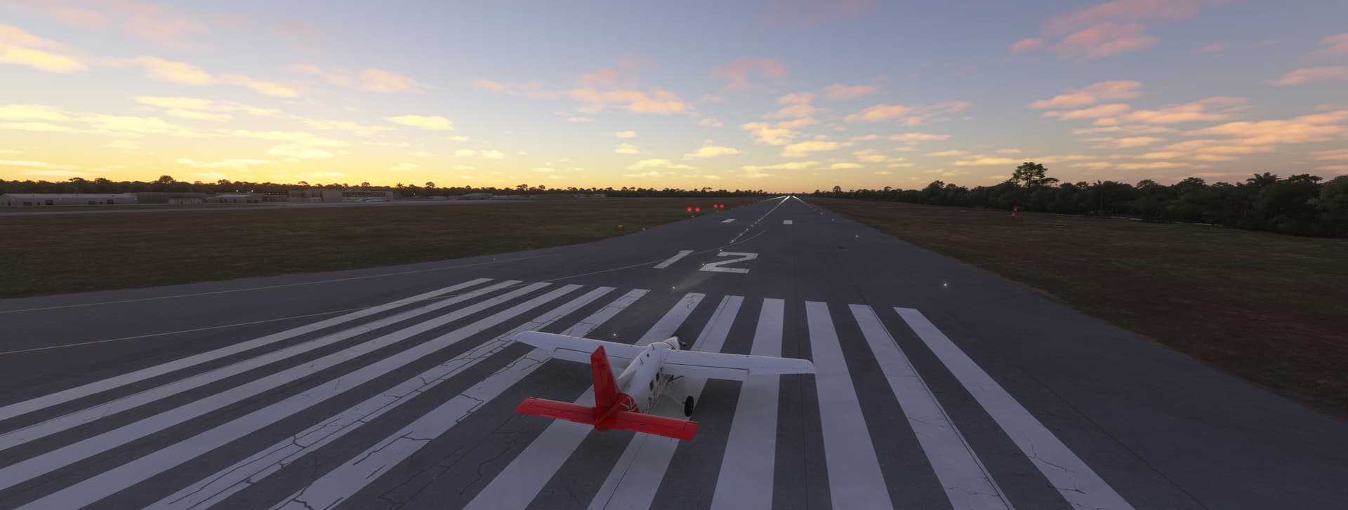
Conditions at takeoff
Few clouds
Temperatute - 76 F
Winds - 9 kts SSE
Pressure - 29.81
Humidity - 83%
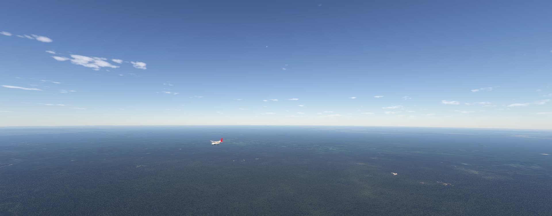
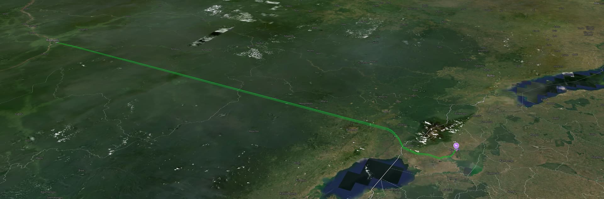
Just after sunrise at Kisangani Bangoka International Airport. It’s a humid and breezy day for our last day of flying through the Congo River basin. It’s been fun, and the size of the Congo as seen from the air has been impressive. That’s a lot of trees etc. We’re headed east into the foothills of the Rwenzori Mountains in western Uganda and into much different terrain.
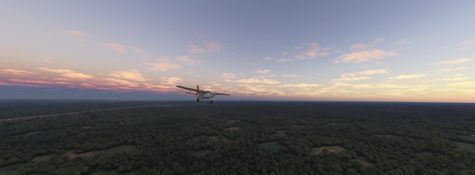
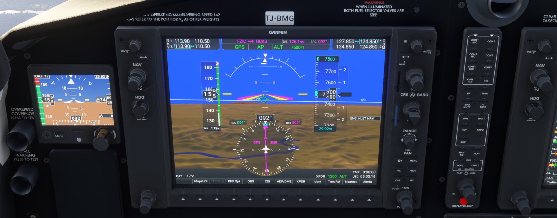
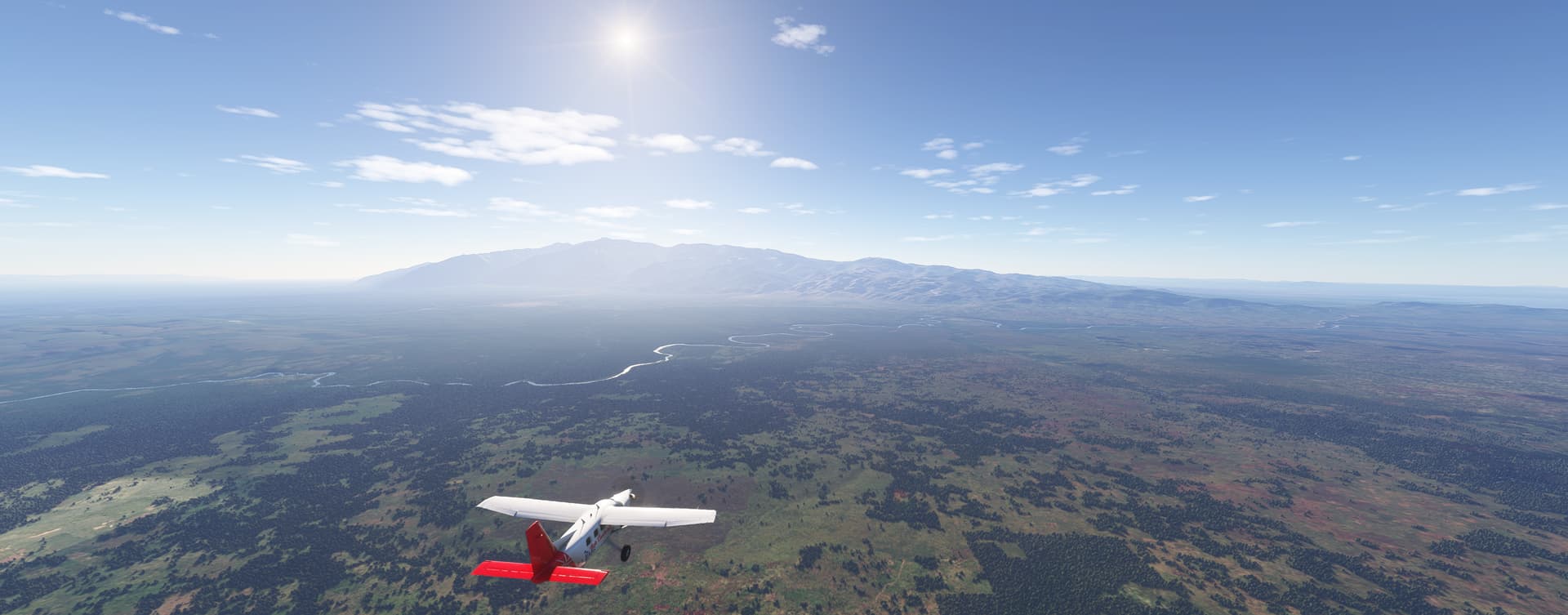
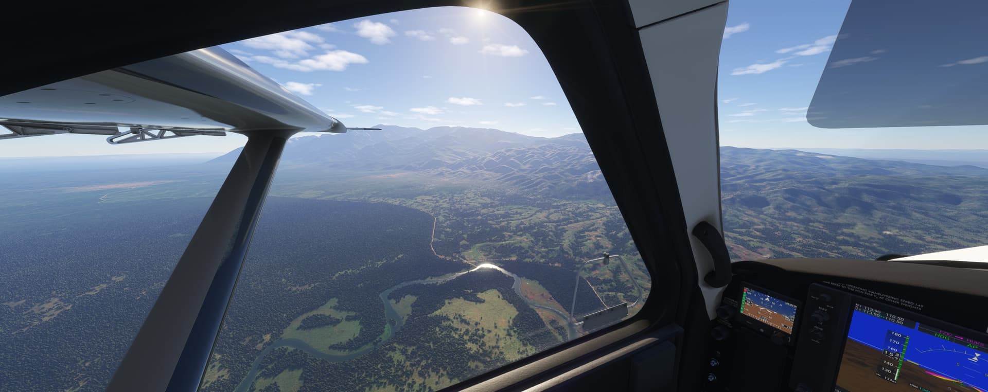
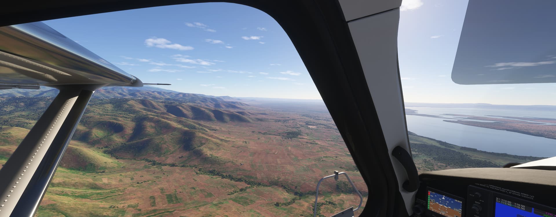
We’ve been gradually making our way over the western highlands of the Albertine Rift. Even at 7500 feet (that’s above sea level) those peaks are getting a little too close for comfort so we ascend to 8000.
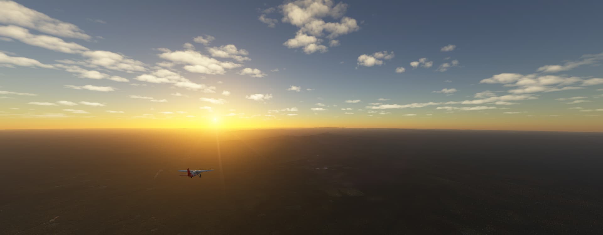
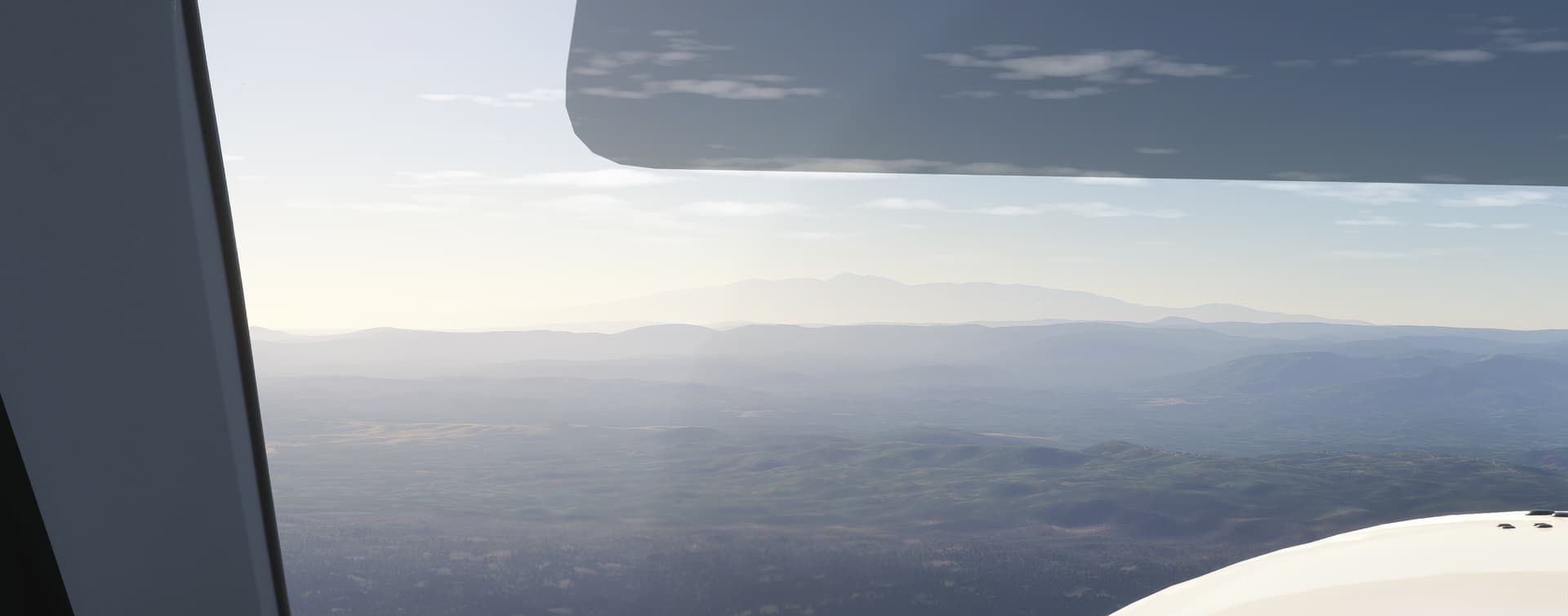
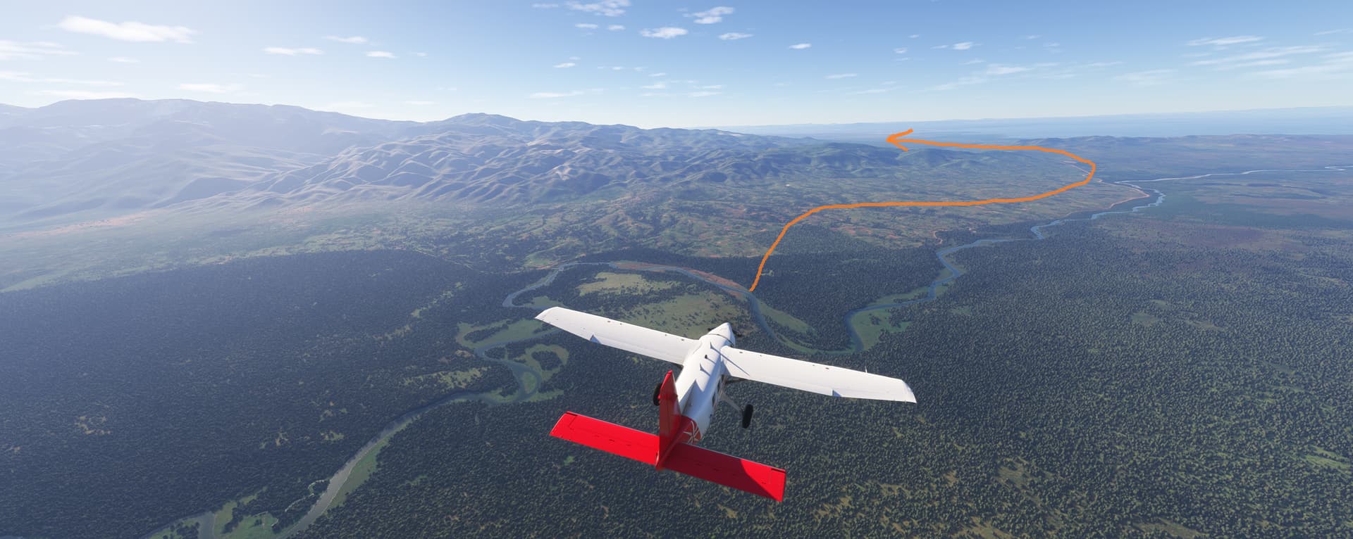
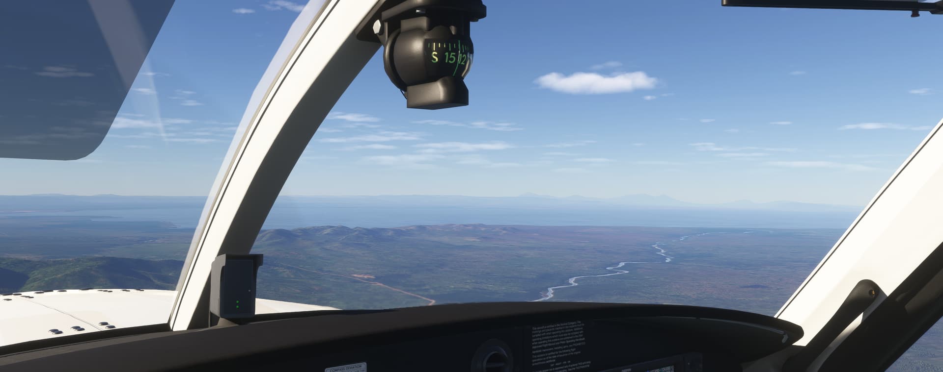
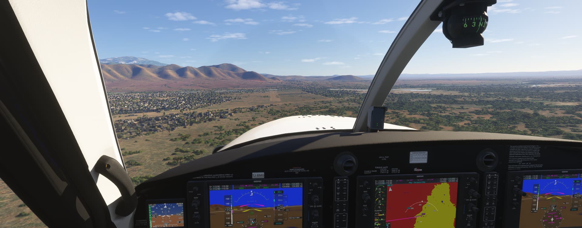
Then we’re out over the rift valley. Our destination Kasese Airport is about 3100 feet, so we start descending here. The airport is right on the other side of Mt Stanley over there.
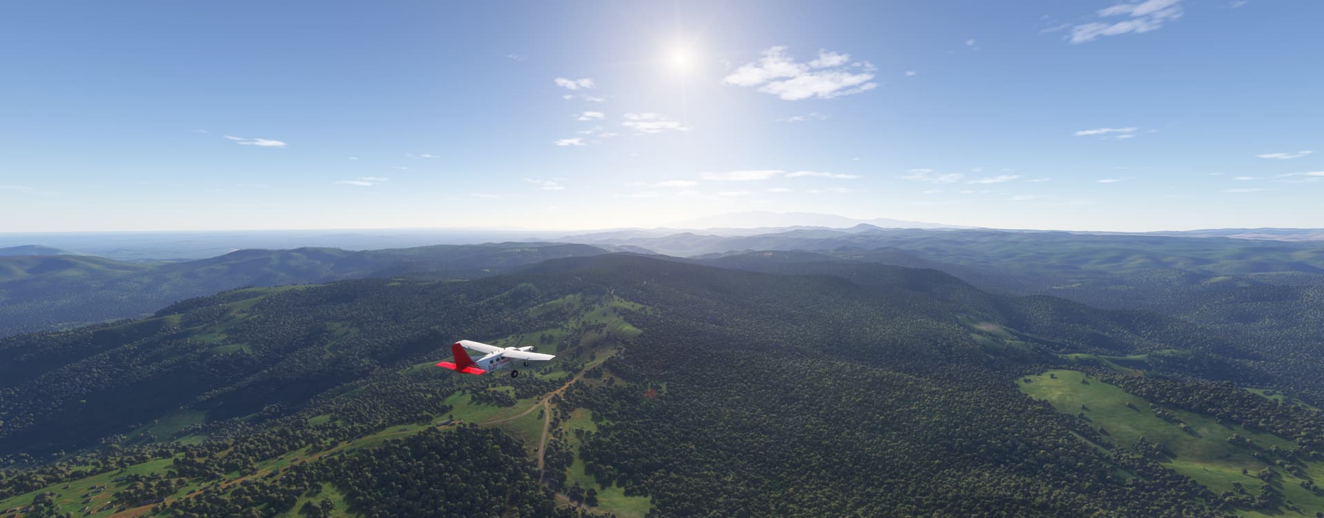
Couldn’t find any good nav points to plot a way around the mountain, and MSFS auto-generated a flight plant directly into Mt Stanley, so we just wind our way counter clockwise around it.
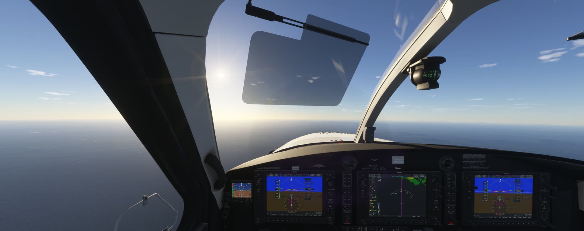
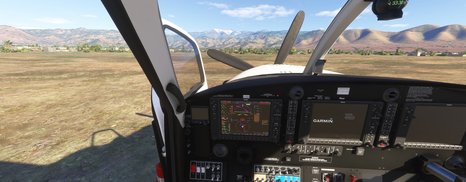
Though kind of unclear where we should be parking. Guess we’ll leave it here and walk into town. Snowy peak of Mt Stanley in the background there. Good flight that was a fun one imo